

Physical network infrastructures are everywhere. They tower above us in the form of telegraph poles and lie concealed in cables beneath our feet. They bring phone and internet connectivity to almost every door in the country and 75 million miles of wire connect people and businesses.
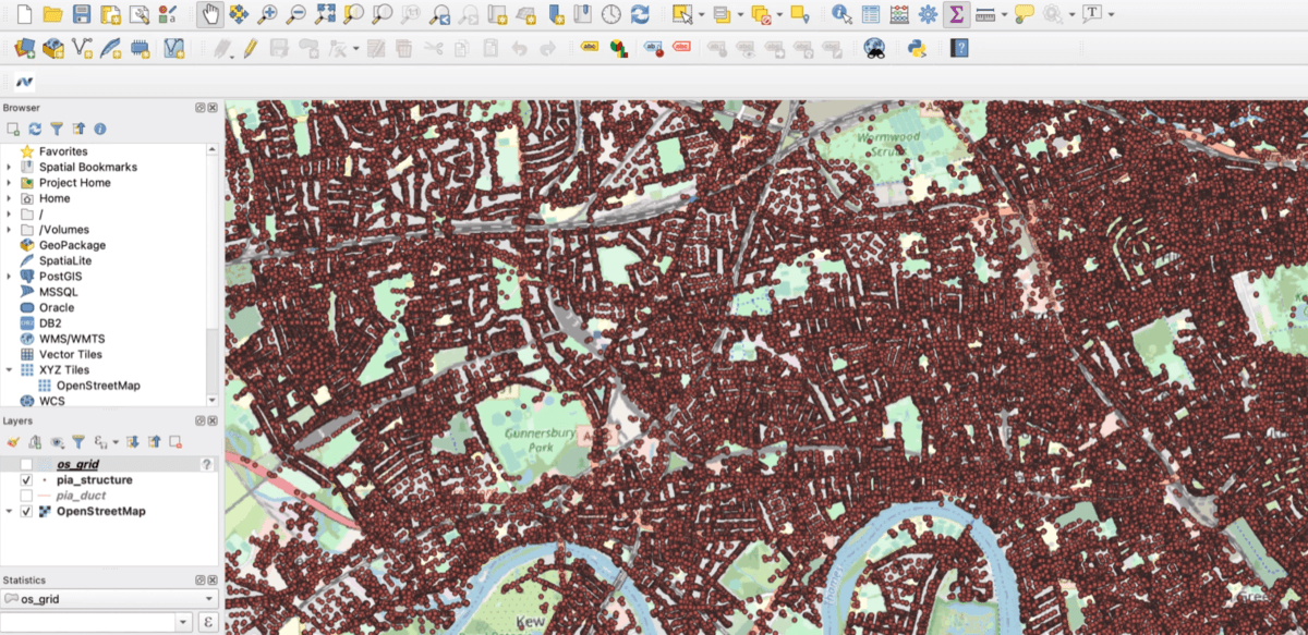
But, mapping these connections can be a tough job. Particularly when you consider the number of connections in one street, never mind an entire neighbourhood or county.
This was a challenging problem our client, Neos Networks, faced.
Neos Networks’ data headache
Neos Networks is a British network provider. They offer a range of telecom services, including high-capacity fibre connectivity. Simply put, building networks is their bread and butter.
Gaining physical infrastructure access (PIA) and understanding where network connections are is a key part of this job. This requires fast and intuitive access to BT’s PIA system.
The analysts at Neos Networks had to manually download each 500m² grid of PIA data to their desktops for review one at a time. Downloading block by block was time-consuming and made it difficult to share data between analysts. What’s more, it slowed down their customer operations and delayed bid responses.
Eventually, enough was enough. And so they asked Tech City Teams for help.
Our bespoke solution
Our experts fast realised this method of downloading data was inefficient.
We worked alongside Neos Networks to build a PIA database in a single source of GIS data in Postgres, using the PostGIS extension. We built a simple user interface to bulk-download blocks of data on-demand, which we cleansed and integrated with Ordnance Survey mapping data. We then constructed a convenient data pipeline to their QGIS software.
Through this simple system analysts can request data from the server, which then downloads the data and transposes it into a GIS format. This means that the team can spend their time analysing the data, not managing it.
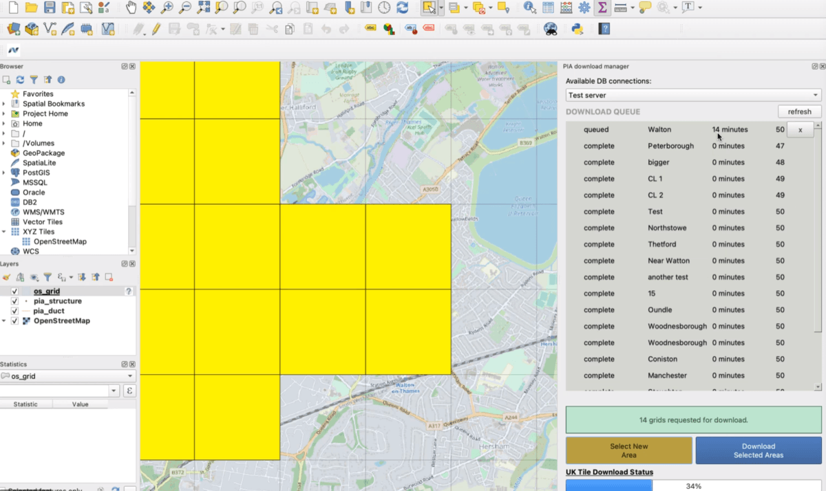
To further develop the value of this software, we added a routing algorithm so analysts could find the best way to connect new customers. We also designed a plugin allowing management of download requests, so that urgent requests are prioritised.
You can see an instance of this queuing process below:
Faster data downloads, better service
Our team built the solution within months and reimagined the way Neos Networks work with PIA and GIS data for years to come.
Now, our client benefits from:
- A single and reliable source of data.
- A centralised portal for their GIS and PIA data that’s shareable and accessible to every analyst.
- Hundreds of thousands of pounds in savings thanks to their newfound ability to handle additional data volume and source information quickly.
- The ability to download many grids of data at any one time meaning analysts use their time more effectively.
As a result, Neos Networks can respond to bids quickly and more effectively. This boosts their competitiveness and provides their customers with a more satisfactory service.
Have you got a tech headache of your own? For fast, effective relief, please get in touch with the Tech City Team.